
Aerial Drone Scanning
The Sky's-Eye View
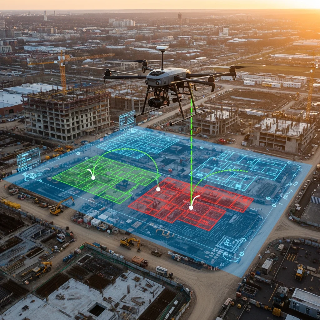
Capture comprehensive site data with safe, efficient aerial drone scanning.
See your project from a powerful new perspective. Our aerial drone scanning service safely captures high-resolution imagery and precise data for large or hard-to-reach sites. From progress tracking to detailed inspections, unlock actionable insights and complete oversight from above.
What it is
Our aerial drone scanning service captures high-resolution imagery and data from above, providing a unique perspective of a site, building, or land. We use drones equipped with cameras and sensors to create detailed aerial maps, 3D models, and orthophotos.
Why it matters
Drones are a safe and efficient way to survey large areas or difficult-to-access locations. They are ideal for construction site progress tracking, roof inspections, and large-scale land surveys, providing a comprehensive overview that is impossible to get from the ground.
Client Benefits:
- Comprehensive Site Overview: Get a complete, high-resolution view of your site that is perfect for progress tracking, land surveying, and visualizing the entire project scope.
- Safety and Efficiency: Safely inspect hard-to-reach areas like roofs or facades without the need for expensive and risky scaffolding or lifts.
- Faster Land Surveying: Capture accurate topographical data and volumetric measurements much faster than traditional survey methods, accelerating the start of your project.